


Prix FOB
Obtenir le dernier prix1692 ~ 1932 / Set ( Negotiable )
|1 Set Minimum Order
Pays:
China
N ° de modèle:
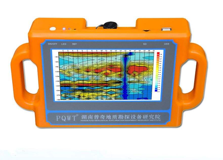
PQWT-S300
Prix FOB:
1692 ~ 1932 / Set ( Negotiable ) Obtenir le dernier prix
Localité:
Hunan, China
Prix de commande minimale:
1692 per Set
Commande minimale:
1 Set
Packaging Detail:
Packed in Alumium Specialized flight Box + Carton
Heure de livraison:
Express shipping, delivery time around 5~7 working
Capacité de Fournir:
300 Set per Month
Payment Type:
Other, PayPal, Western Union, T/T
Groupe de produits :
Personne à contacter Nicole
Changsha, Hunan
| Pays: | China |
| N ° de modèle: | PQWT-S300 |
| Prix FOB: | 1692 ~ 1932 / Set ( Negotiable ) Obtenir le dernier prix |
| Localité: | Hunan, China |
| Prix de commande minimale: | 1692 per Set |
| Commande minimale: | 1 Set |
| Packaging Detail: | Packed in Alumium Specialized flight Box + Carton |
| Heure de livraison: | Express shipping, delivery time around 5~7 working |
| Capacité de Fournir: | 300 Set per Month |
| Payment Type: | Other, PayPal, Western Union, T/T |
| Groupe de produits : | PQWT-S series water detector |


