La description
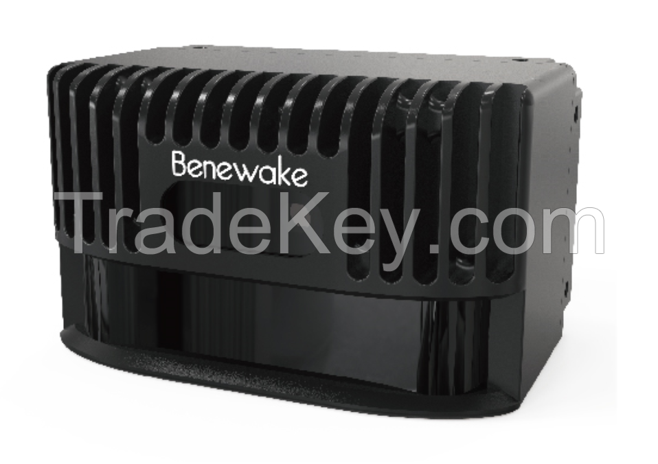
Benewake HD Solid-state Lidar Sensing system CE**-A for AGV UGV
Rovers obstacle avoidance
CE**-A is a solid-state infrared LiDAR which is developed
based on the ToF principle. Equipped with its special hardware
design, it could complete the measurement of wide horizontal FOV
and output the grey and depth information at the same
time.
With its specially optimized obstacle avoidance mode, the detecting
area of interest could be set, and the single-point projection
distance information of the nearest distance point could be
transferred through CANBUS. Compared with single-line scanning
LiDAR, CE**-A does not contain any rotating compartments, which
could ensure the reliability of the long-time work and a wider
vertical detecting range.
Table 1 CE**-A Specification
|
Parameter
|
Typical Value
|
|
Method
|
Time of flight
|
|
Peak Wavelength
|
**0nm
|
|
FoV
|
**2*9 degree
|
|
Pixel Resolution
|
**0**4
|
|
Frame Rate
|
*0fps
|
|
Ranging Resolution
|
1cm
|
|
Detecting Range
|
0.1~4m
|
|
Repeatability(1σ)
|
≤3cm
|
|
Accuracy
|
≤5cm
|
|
Ambient Light Resistance
|
*0klux
|
|
Data Interface
|
CAN
|
|
Operating Temperature
|
0~*0ºC
|
|
Supply Voltage
|
DC *2V(≥2A)
|
|
Power Consumption
|
≤4.5W
|
|
Dimensions
|
*9**7**0mm
|
|
Enclosure Rating
|
IP*5
|
|
Eye Safety Class
|
Risk group 0 in accordance with EN ****1
|
|
Weight
|
**6g
|
1.Principle of RangingThe ranging principle of CE**-A is based on
Time of Flight (TOF). CE**-A emits modulated near-infrared light,
which will be reflected by the object and received by CE**-A again.
CE**-A calculates the phase difference and time difference between
the emitted and received light, which will be further converted to
the clearance of the shot scene.
Figure 1. Schematic Diagram of CE**-A Detecting Range
Figure 2. Illustration of CE**-A Detecting area. Compared
with single-line LiDAR, CE**-A has a wider vertical FOV and
therefore is able to identify obstacles in front.
Figure 3 Illustration of Real Detecting Area; Depth image
(left) and corresponding grey image (right). In the practical
use, some rod-type objects are clearly visible (such as table
leg).
Figure 4 - Application in obstacle avoidance mode. Compared with
the single horizontal detection of the 2D Scan LiDAR (Check the red
line), the CE**-A can better avoid the low obstacles on the
ground.
On the working mode, CE**-A could detect all positions within the
detecting range (within the detecting FOV) and return the distance
information.
The farthest detecting range of each angle has been optimized for
general obstacle avoidance scenarios, which is different from
regular detecting range. The schematic diagram is shown in Figure
6 (Customization is available for special requirements).
2.Description of Obstacle Avoidance
2.1.Obstacle Avoidance ModeThe obstacle avoidance mode of CE**-A is
especially developed for the robot obstacle avoidance application.
Under this mode, CE**-A will select out the most critical obstacle
for the robots and provide the information to the robots.
The principle of the obstacle selection is as follows: CE**-A
selects the nearest obstacle to LiDAR and handles detecting
resources and computing resources in a centralized manner, to
return the azimuth and vertical distance of the obstacle more
precisely.
Among them, azimuth represents the angular deviation between the
obstacle and the dead ahead position of LiDAR (0 for dead ahead
position, negative for left and positive for right) and the degree
of trajectory deflection that the robot requires to avoid the
obstacle.
Vertical distance represents the distance from the obstacle to the
robot (the robot is square at default and LiDAR is installed on the
front surface of the robot) and the emergent level for the obstacle
avoidance.
2.2.Setting Warning Region under Obstacle Avoidance ModeIn many
cases, not all objectives within the detecting range deserve the
warning or obstacle avoidance response of the robot. We set the
function of warning zone under the obstacle avoidance mode. With
the function, though CE**-A still detects the whole detecting
range, it only sends warning signals and obstacle information to
the robot when there are objectives in the warning area.
We could set the region of interest (ROI) by the width and
depth:
Width refers to a width of a LiDAR-centered area extending
symmetrically. It's usually the same as that of the robot, i.e. the
width of the robot in the direction of forward motion.Depth refers
to the vertical distance to the LiDAR, for which the front surface
of LiDAR is set to be the zero plane. Usually, it corresponds to
the distance that the robot needs to make brake response to
obstacles.
Under the obstacle avoidance mode with ROI setting, CE**-A will
preferentially trace the obstacles in the ROI. For example,
Objective A inside the ROI and Objective B outside the ROI exist
simultaneously. Even though Objective B is nearer to CE**-A than
Objective A, CE**-A still returns the information of Objective A
rather than Objective B.
| Pays: |
China |
| N ° de modèle: |
CE30
|
| Prix FOB: |
(Negotiable)
Obtenir le dernier prix
|
| Localité: |
China |
| Prix de commande minimale: |
- |
| Commande minimale: |
1 Piece |
| Packaging Detail: |
50PCs/CTN |
| Heure de livraison: |
3~5 working days |
| Capacité de Fournir: |
100 Piece per Month |
| Payment Type: |
PayPal, Western Union, T/T |
| Groupe de produits : |
- |